|
Observation type
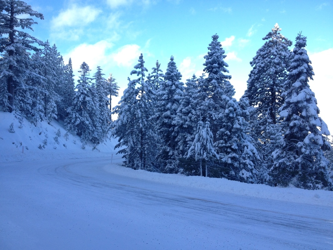
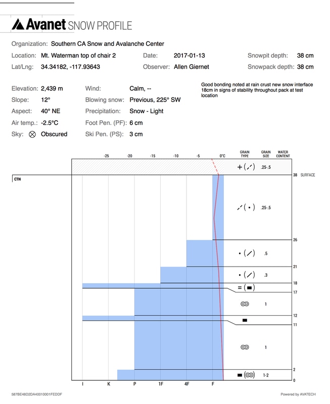
Snowpack Observer Allen Giernet Keep me anonymous if published no Email (this will only be used if we have questions and will not be published) [email protected] Location (general area) Mt. Waterman Date (yyyymmdd) 20170113 Time 1140 Road conditions to area Snow from Newcombs Temperature 2.5°c Sky Obscured (fog or base layer prevents view of sky) Wind speed Calm (smoke rises vertically) Wind direction not observed Wind direction in degrees NA Slope aspect North East Aspect in degrees 40° Slope angle 12° Elevation 2,426m/ 7,960' Snow depth 38cm/ 15" Boot/ Ski penetration 6cm/ 3cm Precipitation Light Activity, recent avalanches No Whumphing noises, shooting cracks. collapsing no Rapid warming no Obvious avalanche path no Terrain trap no Comment Began seeing substantial snow at Red Box parking area/ Mt. Wilson on the 2. Patchy ice and snow in areas. Solid snow .25miles past Newcombs. Clear and sunny driving in approximately 8:00am. 9:30am Mt. Waterman trailhead 2,082m/ 6,830' sold snow on ground Boot pen 20cm/ 8" great skin from truck. -1.7°c/ 29°F. snow in great conditions. clouds in the distance around peaks towards Dawson and Islip but sunny and clear at trail. 2,182m/ 7,160' East slope 25cm/ 10" storm snow to ground Dug a pit just off the top of the summit to get an idea of the pack 2,426m/ 7,960' the snow showed good bonding and the bond of new snow to the late Dec. Base that had gone through a melt freeze and rain creating an ice crust at the interface. See the attached pit profile for a more detailed look. There were two obvious rain events at the start of this storm with snowfall in between at 11cm and 17cm in the profile. this all began on Jan 7th and on Jan 10th we had rain turn to snow followed by another shot if rain before the steady snow. These layers may become a concern with some significant loading but well well bonded at this time in this location. Coverage was still thin with low tide consequences. Made cautious light turns and the snow was fantastic. Publish this observation Yes I would like this observation Published |
|
Sponsors
|
|
|
|

|

|

|

|

|

|

|
|

|
|
|
|

|

|
Supporters
|
|
|
|

|
|
© 2013 - 2015 So Cal Snow Avalanche Center inc. All rights reserved.
P.O.Box 214 Tujunga, Ca. 91043 |
A 501(c)3 non profit organization # 46-2296801
|
Use at your own risk. This information is provided “as is” and in no event shall the providers be liable for any damages, including, without limitation, damages resulting from discomfort, injury or death, claims by third parties or for other similar costs, or any special, incidental, or consequential damages, arising out of the use of the information.