|
Observation type
Snowpack Observer Anonymous Keep me anonymous if published yes Location (general area) Wrightwood Latitude Longitude Date (yyyymmdd) 20230301 Time 1100 Road conditions to area unplowed/impassable Temperature 20F Sky Obscured (fog or base layer prevents view of sky) Wind speed Moderate (17-25mph Small trees sway/ flags stretched) Wind direction SW Wind direction in degrees Slope aspect not observed Aspect in degrees Slope angle Elevation 6400ft Snow depth Boot/ Ski penetration Precipitation Medium Activity, recent avalanches yes Brief description Whumphing noises, shooting cracks. collapsing yes Rapid warming yes Comment The epic snow event of 2023 has delivered as promised, and more. Below are some contemporaneous notes from observations at/near approximately 6,400ft in the Swarthout Valley. - Very cold, dry snow fell on 2/23 night along with gusty winds. Pockets of slabby windboard were observed on leeward slopes. - Friday 2/24 morning through Saturday 2/25 afternoon was the main event, with consistent snowfall rates of 6-9cm/hr. Best guess is snowfall ratios were 12-15:1. Totals were approx. 1.5 meters. Likely 2-3m in the high country. - Sunday 2/26 was clear and mild, with slightly above-freezing temps up to ~7000ft. Solar aspects were turning to hot pow and mank. Some - Snow and gusty winds resumed evening of 2/28, increasing in intensity overnight. By Wednesday 3/1 there was 20-30cm of new snow, with local pockets of 40-50cm in wind-loaded areas. - Several D1.5 natural avalanches were spotted on ~40deg slopes around 7300ft on 2/26. - I observed several large “whumphs” while shoveling snow from my car onto the adjacent slope, presumably from the added load. - Tl;dr – a LOT of snow has fallen in the past week, on top of variable surfaces ranging from bare earth to refrozen corn to old facets. We are now faced with a much deeper and more complex snowpack than is typical for the SoCal mountains. Roads are virtually impassable in mountain towns, so please respect residents by obeying CalTrans and CHP closures. Publish this observation Yes I would like this observation Published |
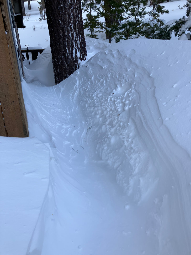
Wind loading 3-1-23 AM
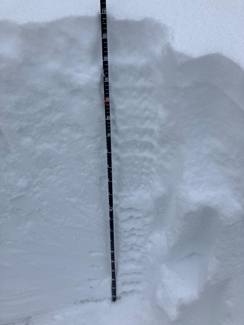
pit 2-25
|
Sponsors
|
|
|
|

|

|

|

|

|

|

|
|

|
|
|
|

|

|
Supporters
|
|
|
|

|
|
© 2013 - 2015 So Cal Snow Avalanche Center inc. All rights reserved.
P.O.Box 214 Tujunga, Ca. 91043 |
A 501(c)3 non profit organization # 46-2296801
|
Use at your own risk. This information is provided “as is” and in no event shall the providers be liable for any damages, including, without limitation, damages resulting from discomfort, injury or death, claims by third parties or for other similar costs, or any special, incidental, or consequential damages, arising out of the use of the information.