|
Observation type
Snowpack Observer Hans Ludwig Keep me anonymous if published no Location (general area) John Hege Trailhead Toilet (W of Waterman) Latitude 34.343638 Longitude -117.961634 Date (yyyymmdd) 20190116 Time 4:48 Road conditions to area Clear, Wet Temperature 42 F (5.6 C) Sky Overcast (sky covered) Wind speed Light (1-16mph Flags/twigs in motion) Wind direction S Wind direction in degrees Slope aspect North West Aspect in degrees Slope angle 25 Elevation 6800 ft Snow depth 35 cm Boot/ Ski penetration 13 cm Precipitation Light Activity, recent avalanches No Brief description Whumphing noises, shooting cracks. collapsing no Rapid warming yes Obvious avalanche path no Terrain trap no Comment I left trailhead at 6400’ gate closure, AKA John Henge Trailhead Toilet, at 4:08 with 6-8” (15-20 cm) on the ground. It was slightly rainy, overcast, and some fog. Snow surface was very soft, heavy, and mushy the whole time. There were clear runnels where it had rained (see pic). Instagram pics showed it was snowing at 7000’ earlier that morning. As I climbed, coverage became dramatically more even; from a patchy 6” (15 cm) to a solid 10” (25 cm). Pole probing consistently showed a soft surface over a hard, thin layer, over more soft snow. Multiple test slopes produced no results—not even sluffs—which was weird b/c the surface was so soft; i.e. skis easily submarined the tips and stepping onto the snow sunk deep (~10-15 cm) I dug a quick pit at 4:38 (6,800’) to find snowpack structure (see pic). Two pit tests: CT14@20 BK & CT12 to ground. I topped out on the ridge at 7000’ and skied back to my car. Snow was very heavy, slushy, and difficult to turn in. OTOH, turns sprayed an impressive wall-of-slop rooster tail. Publish this observation Yes I would like this observation Published |
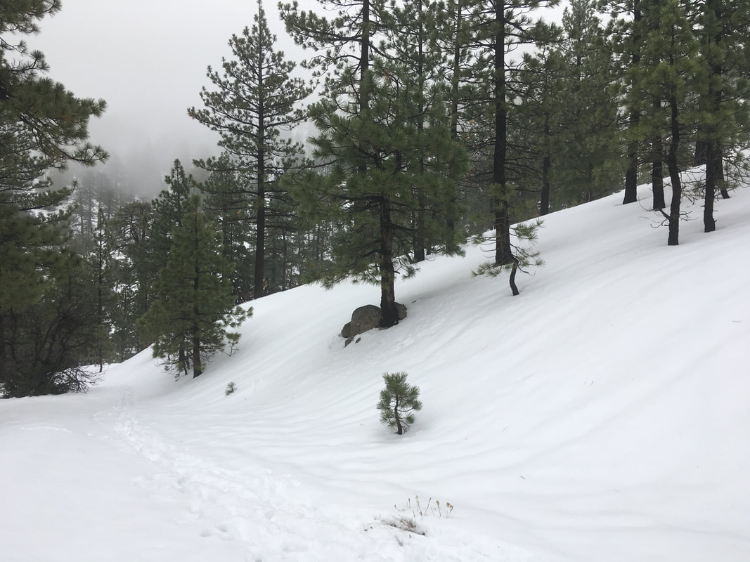
Rain Runnels
|
Sponsors
|
|
|
|

|

|

|

|

|

|

|
|

|
|
|
|

|

|
Supporters
|
|
|
|

|
|
© 2013 - 2015 So Cal Snow Avalanche Center inc. All rights reserved.
P.O.Box 214 Tujunga, Ca. 91043 |
A 501(c)3 non profit organization # 46-2296801
|
Use at your own risk. This information is provided “as is” and in no event shall the providers be liable for any damages, including, without limitation, damages resulting from discomfort, injury or death, claims by third parties or for other similar costs, or any special, incidental, or consequential damages, arising out of the use of the information.