|
Observation type
Snowpack Observer Hans Ludwig Keep me anonymous if published no Location (general area) Throop Peak Latitude 34.3521 Longitude -117.8011 Date (yyyymmdd) 20161129 Time 10:45–14:30 Road conditions to area Open. Few sections with many small rocks. Temperature 32° F (0° C) (Give or take) Sky clear (no clouds) Wind speed Light (1-16mph Flags/twigs in motion) Wind direction not observed Wind direction in degrees Slope aspect not observe Aspect in degrees Slope angle Elevation 9,000' Snow depth 0–16" (0–40 cm) Boot/ Ski penetration PS 8 cm Precipitation None Activity, recent avalanches No Brief description Whumphing noises, shooting cracks. collapsing yes Rapid warming yes Obvious avalanche path no Terrain trap yes Comment It turns out CalTrans kept The Crest open to Wrightwood (!), so I decided to head up there and see what kind of snow I could get into. Snow started sticking to shaded, N-aspect slopes from the Santa Clara Divide road (5,890’) on up. Waterman & Cloudburst (≈ 7,000’) still looked too boney for a tour; let alone ski. Looking at peaks, I knew I need to get higher than 9,000’ for real snow, so I decided to park at Dawson Saddle (7,903’) and tour up the northwestern shoulder of Throop Peak (9,138’). I could skin basically right after the first switchback above the highway. The trail south was mostly covered. I had to duck down below the ridge at times to minimize early-season, mandatory gingerly stepping across small fields of gravel and rocks. (Thank God for nearly indestructible Black Diamond nylon skins!) I hit the trail at 10:45. Temps hovered around freezing all day. Winds were mostly calm with occasional moderate gusts. Throughout the tour, snow was highly variable: hard (PS > 1 cm), soft (PS 10 cm), deep (30 cm), absent. The only constant was graupel within the snowpack... And facets. Whew! Lots of facets. In the morning there was a breakable crust over facets. I observed small shooting cracks (≥ 25 cm around ski). Near midday, above 8,800’ I observed radiation re-crystallization. By 14:00 sunned snow below 8,400’ was melting into mashed potatoes while shaded snow began the afternoon freeze. I found it difficult to find a deposition pattern; i.e. where the good snow would be. I think it snowed from the south which preceded a wind event from the NW. But it was odd; certain NW-aspect slopes were scoured and others had 15 cm of facets (??). All north chutes of Throop were heavily scoured to the road, but other NE-aspect drainages had over a foot of sugary snow. The NW shoulder off the summit had hard wind drums and sastrugi down to the trees where it was scoured almost to ground. The snow was never deep enough to have meaningful pit data, so I never dug one. Most pole probe tests showed a right side up snowpack (except for where there was an obvious breakable crust). I hopped on a few test slopes: SCC30NE (@8,000’), SCN30E (@8,300’), SCL(1)30N (@8,800). Lastly, I hopped on one of the smaller wind drums on the NE shoulder around 8,800’ and it broke to ground. It had formed over that first layer of graupel. eek! I got in about 8 turns of nice, albeit shallow pow off the summit. It was a ridiculously clear day. From the top I could see Mt Whitney to the north and Catalina surrounded by reflection of the sun off the water. A beautiful way to start the season. Publish this observation Yes I would like this observation Published |
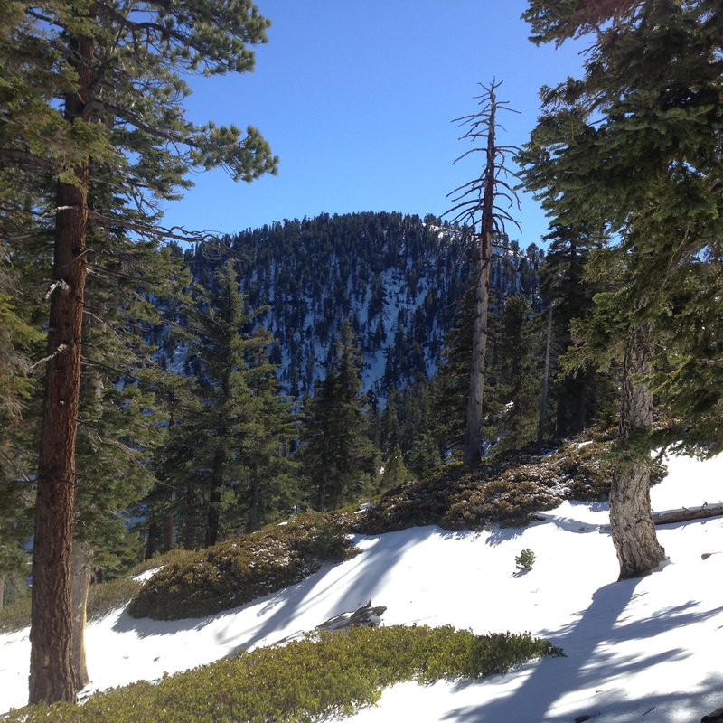
North Face of Throop Peak. Note heavy scouring in the central gully
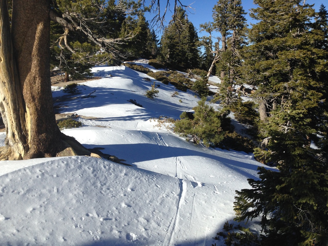
Looking North in the afternoon.
|
Sponsors
|
|
|
|

|

|

|

|

|

|

|
|

|
|
|
|

|

|
Supporters
|
|
|
|

|
|
© 2013 - 2015 So Cal Snow Avalanche Center inc. All rights reserved.
P.O.Box 214 Tujunga, Ca. 91043 |
A 501(c)3 non profit organization # 46-2296801
|
Use at your own risk. This information is provided “as is” and in no event shall the providers be liable for any damages, including, without limitation, damages resulting from discomfort, injury or death, claims by third parties or for other similar costs, or any special, incidental, or consequential damages, arising out of the use of the information.