|
Observation type - Snowpack
Observer - Hans Ludwig Keep me anonymous if published - no Location (general area) - Kratka Ridge Date (yyyymmdd) - 20141217 Time - 9:30-11 Road conditions to area - Icy but clear on way up. Completely clear and dry on way down. Temperature - 0º C (32ºF) Sky - Obscured (fog or base layer prevents view of sky) Wind speed - Calm (smoke rises vertically) Wind direction - not observed Slope aspect - North Slope angle - 23º Elevation - 6860' Snow depth - 35cm Boot/ Ski penetration - Anke-Shin deep. Clean Precipitation - Light Activity, recent avalanches - No Whumphing noises, shooting cracks, collapsing - no Rapid warming - no Obvious avalanche path - yes Terrain trap - no Comment - No need for your rock-board; the tide is in my friends! Save weight and leave your skins in the car; no need for the long, switchbacky skin track. I made a bootpack from the bottom to the top. The mountain is well covered with a strong base and a dusting —or rather smearing—of heavy new snow. It's surface is not smooth, but I didn't hit any rocks all day. Snow 'sticks' in the shade above 5800' ***************************** 9:50 AM the morning after a night storm 6860' NE aspect ∠23º 35 cm Deep snowpack 35-30 cm (F) moist new powder [last 24 hrs] 30-20 cm (4F) older new snow [last weekend] 20-7 cm (F) refreeze corn [First week of Nov] 7-0 cm (4F) older snow *Talus* STM @15cm from talus (middle of the old snow) CTN ECTX ***************************** 10:30 7120' N aspect ∠30º 45cm deep snowpack with similar stratigraphy as before; just wider STN – It slid from the ground (pine needles) with surprising ease, as one cohesive block CT22(Q3) @15cm from talus ECTN22(Q3) @15cm from talus ************* 11:00 7430' NNE aspect ∠30º 35cm deep snowpack 35-31cm (F) Heavy new snow [last 24 hrs] 31-26 (4F) Firmer new snow. [last week] Graupel around 27cm? 26-23cm (1F) Crust [First week of Nov] 23-17(4F) Corn (Graupel revealed on ECT fracture @20cm?) 17-15(1F) Crust 15-0(4F) *Talus* ECTN23(Q3) @20cm on graupel? File description - Q3 ECTN @ 7120' File description - Pano from the lift Publish this observation - Yes I would like this observation Published |
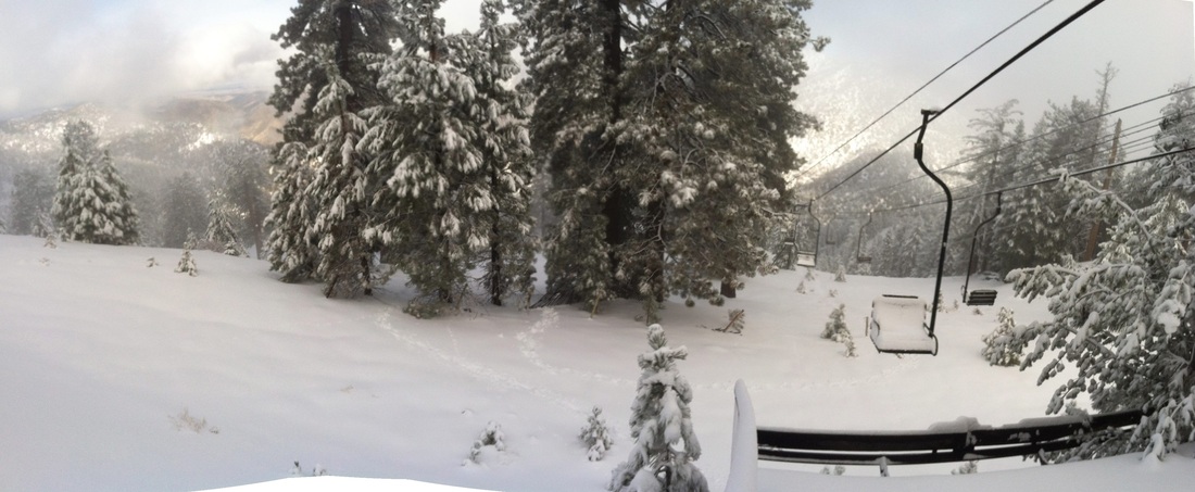
Pano from the lift
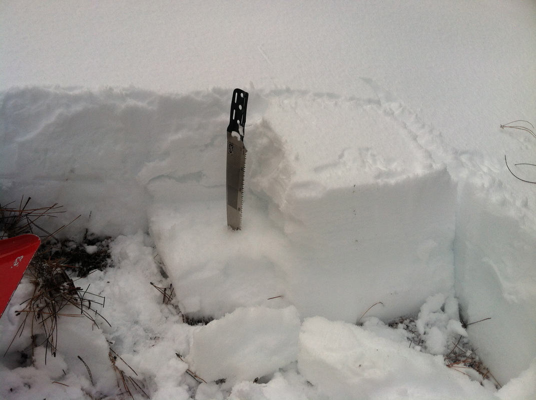
Q3 ECTN @ 7120'
|
Sponsors
|
|
|
|

|

|

|

|

|

|

|
|

|
|
|
|

|

|
Supporters
|
|
|
|

|
|
© 2013 - 2015 So Cal Snow Avalanche Center inc. All rights reserved.
P.O.Box 214 Tujunga, Ca. 91043 |
A 501(c)3 non profit organization # 46-2296801
|
Use at your own risk. This information is provided “as is” and in no event shall the providers be liable for any damages, including, without limitation, damages resulting from discomfort, injury or death, claims by third parties or for other similar costs, or any special, incidental, or consequential damages, arising out of the use of the information.