|
Observation type
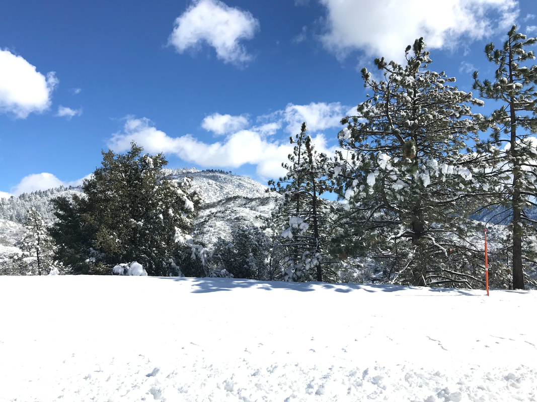
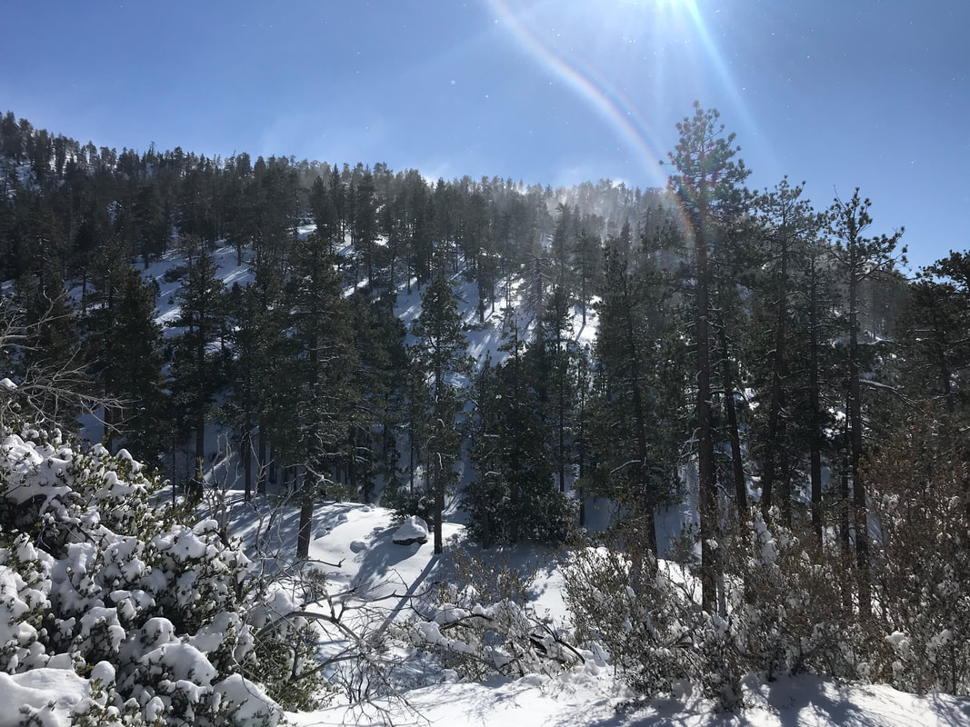
Snowpack Observer Allen Giernet Keep me anonymous if published no Location (general area) Angeles National Forest Latitude Longitude Date (yyyymmdd) 20201229 Time 1330 Road conditions to area Patchy snow and ice Temperature NO Sky clear (no clouds) Wind speed Moderate (17-25mph Small trees sway/ flags stretched) Wind direction NW Wind direction in degrees Slope aspect N/A Aspect in degrees Slope angle NO Elevation 6,200' Snow depth 14" - 24" Boot/ Ski penetration 4" - 18" Precipitation None Activity, recent avalanches No Brief description Whumphing noises, shooting cracks. collapsing no Rapid warming no Obvious avalanche path no Terrain trap no Comment 11:15am encountered snow at road 3,200’ road mostly clear with only occasional snowy patches. Dusting of snow in north side of mountains to below 3,000’ Once above 4,000’ snow patches more consistent on road in northern sheltered locations. 6,200’ @ 1:30pm solid coverage on mountains. Strong Northeast to northwest winds. Lots of wind transport. BP ranging from 4” to 20”. Very dependent on wind loading and aspect. Average depth 4” to 12”. Snow appeared to have come in lighter for first round Monday morning than heavier for the bulk of the storm in the afternoon to evening. Significant wind loading on northerly aspects. At time of observation though winds were northerly topographic influence was causing loading on north aspects as well as southern aspects. This is in essence the first storm of the season. Sinking down to ground or obstacles. Low tide early season conditions. We’ll need more of this to really open up the back country. Resist powder fever and wait for more snow. Play it safe Publish this observation Yes I would like this observation Published |
Sponsors
Supporters
|
© 2013 - 2015 So Cal Snow Avalanche Center inc. All rights reserved.
P.O.Box 214 Tujunga, Ca. 91043 |
A 501(c)3 non profit organization # 46-2296801
|
Use at your own risk. This information is provided “as is” and in no event shall the providers be liable for any damages, including, without limitation, damages resulting from discomfort, injury or death, claims by third parties or for other similar costs, or any special, incidental, or consequential damages, arising out of the use of the information.


